
How to choose an airport wayfinding system: a buyer guide
OVER Editorial · Updated November 4, 2026 · Blog
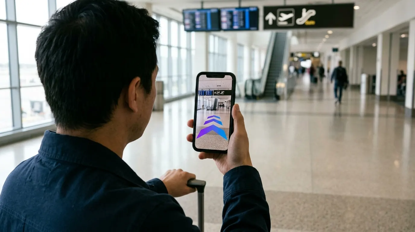
Knowing how to choose an airport wayfinding system starts with one fact: passengers judge a terminal by how fast they find the gate, the restroom and the bag drop. This guide is for airport operations, customer experience and innovation leads who are building a shortlist or writing an RFP.
You will find what the system must do, how the positioning options compare, what drives cost, a six-step rollout plan and the questions to put to vendors.
Key takeaways
- Start from passenger journeys, not from hardware or screens.
- Compare positioning methods by what they need on site to keep working.
- One shared map for phone, website and kiosks cuts update work.
- Cost depends on area, floors, channels, mapping scope and number of terminals.
- Pilot one journey, measure it, then extend.
What should an airport wayfinding system do for passengers?
An airport wayfinding system should give passengers a route from where they stand to where they need to be, with walking time, level changes and step-free options. It should work on their own phone without setup, match the signs they see, and update when a gate, a checkpoint or an elevator changes.
Airports are harder than most venues. Boarding times are fixed, many visitors are there for the first time, and the building is split by security into landside and airside zones that routes cannot cross freely.
Write down the journeys that generate the most questions at your help desks:
- Parking garage or curb to check-in and bag drop
- Check-in to the security checkpoint
- Security to the departure gate
- Gate to gate on a short transfer
- Arrival gate to baggage claim and ground transport
- Any point to restrooms, assistance points, pharmacy or prayer rooms
Then list the rules the routes must respect:
- Step-free routes. Elevators and ramps for wheelchairs, strollers and heavy luggage.
- Zone logic. No route that crosses security in the wrong direction.
- Languages. Labels in the languages your passengers actually speak.
- Live changes. A closed elevator or a moved gate must change the route.
Passengers with reduced mobility depend on these routes more than anyone else. Whatever your jurisdiction, step-free routing belongs in the base scope, not in a later phase.
Do airports still need beacons for indoor navigation?
Not necessarily. Beacons remain a proven option and work well where an airport already maintains them. Camera-based positioning is an alternative: a visual positioning system matches what the phone camera sees with a 3D map of the terminal, so nothing has to be installed, powered or replaced on walls and ceilings.
GPS is not enough indoors: roofs and steel structures weaken the signal, and it cannot tell one floor from another. So every serious option adds something. Compare them by what they need to keep working:
- Bluetooth beacons. Mature and well understood. They need installation, batteries or power, and periodic checks.
- Wi-Fi or UWB positioning. Can reuse network infrastructure, with tuning. UWB also needs compatible phones and anchors.
- Camera-based positioning (VPS). Needs a 3D map of the terminal and a short look through the phone camera.
- Static digital map. No positioning at all. Simple, but passengers must find themselves on the map.
Each option has limits. Hardware airside often means escorted work, permits and night shifts, and every device is one more asset to maintain. Camera-based positioning needs a map refresh after major physical changes, such as a new retail block or temporary walls.
For a deeper side-by-side, see indoor positioning without beacons.
How much does an airport wayfinding system cost?
Cost depends on the size of the terminals, the number of floors, the channels you need (phone, website, kiosks), whether mapping is included, how often the layout changes and how many sites you cover. Hardware-based systems add installation and maintenance work. Ask each vendor for a quote built on the same scope.
The factors that move the number most:
- Area and levels. Square meters, floors, piers and connected buildings.
- Channels. Phone navigation, a map on your website, on-site kiosks.
- Mapping. Included as a service, or prepared by your team from floor plans.
- Hardware. Beacons, anchors or kiosks to buy, install and maintain.
- Integrations. Flight information, gate changes, accessibility services.
- Content updates. Who edits shops, gates and closures, and how often.
Ask for total cost of ownership over the contract term, not only the setup. Updates, battery swaps, kiosk support and staff time are where budgets drift.
How to roll out airport wayfinding in six steps
- Pick one journey. Security to gates is a common first choice. Keep the pilot narrow.
- Audit your data. Gate lists, points of interest, accessibility features and current signage names.
- Map the terminal. Plan access airside, off-peak hours and escorts with your security team.
- Set routing rules. Step-free paths, landside and airside logic, closures.
- Launch the pilot. Put QR codes on existing signs and brief help desk staff.
- Measure and extend. Review results, fix weak spots, then add journeys and channels.
What to measure during the pilot:
- Routes started and routes completed
- Direction questions logged at help desks
- Sampled walking time from security to gate
- Feedback from passengers with reduced mobility
- Kiosk-to-phone route handoffs, if kiosks are in scope
Agree on the baseline before launch. Without it, you cannot tell whether the system helped.
Checklist for your airport wayfinding RFP
Send the same questions to every vendor:
- Does navigation work without an app download?
- What has to be installed in the terminal, and who maintains it?
- How is the terminal mapped, by whom, and how long does it take?
- How are step-free routes and closed elevators handled?
- How are landside and airside zones enforced in routing?
- Can gate changes and closures update routes without re-mapping?
- Is the same map used on phones, the website and kiosks?
- Which phones and browsers are supported?
- What happens to camera images, and where is data processed?
- How are languages added, and who edits content?
- What does the pilot include, and what will be measured?
Frequently asked questions
Can passengers use airport wayfinding without downloading an app?
Yes. Browser-based systems open from a QR code or a link on your website. Passengers skip the app store, which matters for one-time travelers.
Does camera-based navigation work for passengers with low vision?
AR arrows are visual, so they are not enough alone. Ask for text step lists, screen reader support and step-free routes, and test them with real users.
How often does the terminal map need updating?
Content such as shop names and gate labels can change at any time without re-mapping. Physical changes, like new walls or a rebuilt pier, need a map refresh of that area.
Can one map serve phones, the website and kiosks?
It can, if the vendor builds all channels from the same map. That way a closure entered once shows up everywhere.
How OVER does it
OVER Wayfinding Suite runs on one 3D map of the venue, in four parts: 3D Venue Mapping (turnkey mapping with one 360° camera), Mobile AR Navigation (AR directions in the phone browser, no app to download), Interactive 3D Web Map (the same 3D map embedded on your website) and Wayfinding Kiosks (same map on your touch screens, where a QR hands the route to the phone). Positioning uses only the phone camera, in the smartphone browser: relocalization in under 100 ms with centimeter-level accuracy.
Our latest deployment, Città Fiera in Udine, Italy, is live since June 2026: 150,000 m² GLA, 230+ stores on multiple floors. One operator mapped it in about 90 minutes with an Insta360 X5 during opening hours. At this shopping centre, time on site rose 25% and conversion rate rose 12%; these are results from a mall, not a forecast for a terminal. Read the Città Fiera case study, and see how the same approach applies to terminals on our airport wayfinding page.
If you are scoping a terminal, talk to our team about your journeys, areas and channels.