
Campus wayfinding software buyer guide: what to ask before you sign
OVER Editorial · Updated November 7, 2026 · Blog
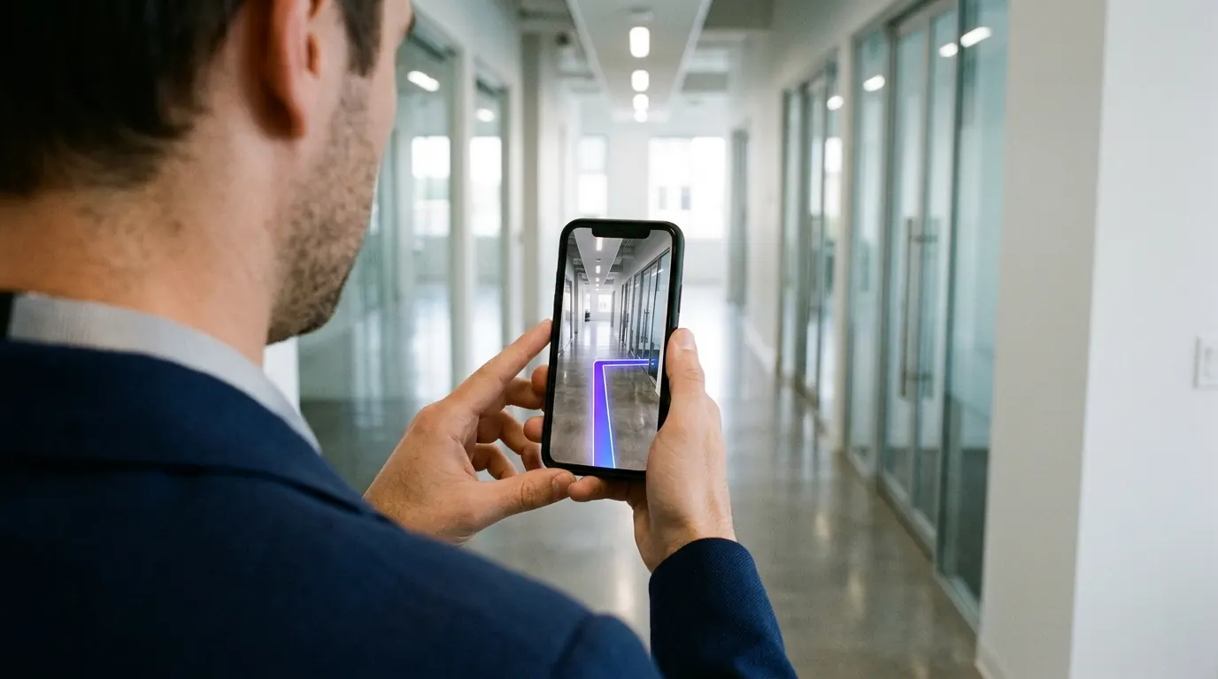
This campus wayfinding software buyer guide is for facility, IT and student services teams at universities and corporate campuses who need visitors to reach a room, not just a building. It explains what the software should do, how positioning options differ and what to write into your RFP.
Key takeaways:
- Campus wayfinding is a multi-building problem: paths, entrances, floors and rooms in one route.
- The positioning method drives hardware, maintenance and accuracy. Ask how the blue dot works.
- In the US, a map on a public university website is web content under ADA accessibility rules.
- Cost follows area, buildings, floors and channels, not a single license line.
- Ask for a live test in one of your own buildings before you sign.
Most requests start the same way. A new student, a visiting parent or a contractor stands at the right building and the wrong door. The room is on the second floor of the east wing, reachable through an elevator the static map does not show.
What should campus wayfinding software do?
Campus wayfinding software should route a person from a parking lot or bus stop to a specific room, across outdoor paths, entrances, floors and elevators. It should search by room number, department and person, offer step-free routes, run on phones without forcing an app, and let your team update rooms without calling the vendor.
In practice, the requirements fall into six groups:
- Room-level search. Room numbers, lecture halls, labs, offices, restrooms, including legacy codes.
- Indoor and outdoor in one route. No switch between a campus map and a building plan.
- Accessible routing. Step-free paths, elevators, ramps and accessible entrances.
- Several channels. Phone, the university website and lobby kiosks showing the same data.
- Content ownership. Your team edits rooms and events, not the vendor's support desk.
- Data import. Room lists from your space management or booking system.
Accessibility deserves its own line in the evaluation. The US Department of Justice rule on web and mobile accessibility under ADA Title II sets WCAG 2.1 Level AA as the standard for state and local governments, which includes public universities, and it covers content provided through vendors.
A Justice Department interim final rule published on April 20, 2026 moved the compliance dates without changing the standard. Entities with a total population of 50,000 or more now have until April 26, 2027, smaller entities and special districts until April 26, 2028 (source: Federal Register, April 20, 2026). Ask each vendor how their embedded web map meets WCAG 2.1 AA, including a text version of the route.
Do you need beacons for indoor campus navigation?
No, beacons are one option among several. Bluetooth beacons give a blue dot after you install and maintain transmitters in each covered building. Wi-Fi positioning reuses access points but is usually coarser. Camera-based visual positioning needs no hardware: the phone matches what it sees with a 3D map. Choose by accuracy, buildings to cover and maintenance capacity.
Each approach has a place on a campus:
- Bluetooth beacons. Reliable where installed. You manage batteries, mounting and replacements in every building.
- Wi-Fi positioning. Uses the network you already run. Accuracy depends on access point density and on what each phone operating system exposes.
- Static floor-plan map. Quick to publish. Visitors must work out where they are on their own.
- Visual positioning (VPS). A visual positioning system matches the camera view with a 3D map of the building. No hardware to install, but the visitor holds the phone up, and major renovations need a fresh scan.
On a campus with dozens of buildings, the maintenance column often decides. Historic buildings may not allow drilling, and each beacon is one more asset for a facilities team to track. For a deeper side-by-side, see indoor positioning without beacons.
How much does campus wayfinding software cost?
Campus wayfinding software cost depends on the area to map, the number of buildings and floors, the channels you want (phone, website, kiosks), whether mapping is included or you supply floor plans, and how often rooms change. Ask vendors to quote the same scope, broken down by setup, mapping and yearly service, so offers compare.
The cost factors buyers miss most often:
- Floor plan quality. Outdated CAD files mean redrawing work, by you or the vendor.
- Hardware upkeep. Beacon batteries, kiosk screens and their mounting.
- Staff time. Who renames rooms after each reorganization, and how long it takes.
- Number of sites. Satellite campuses and hospitals linked to the university.
- Accessibility work. Audits and fixes to meet WCAG 2.1 AA on the web map.
Request one scope document and send it to every vendor. Offers built on different assumptions cannot be compared.
How to roll out campus wayfinding in 6 steps
- Pick the routes that hurt. List the journeys behind most questions at reception: admissions, exam halls, health center, open-day venues.
- Clean your room data. Export the room list from space management and check it against door signage.
- Pilot one building cluster. Choose buildings with many visitors and a mix of floors, elevators and outdoor links.
- Map and walk the routes. Test with people who do not know the campus, including a wheelchair user.
- Place the entry points. QR codes at gates, parking lots and bus stops, links in admission emails, the map on your website.
- Measure, then expand. Track route requests, top searched destinations and help desk questions about directions, before and after.
Be honest about limits during the pilot. Digital wayfinding does not replace emergency signage, and visitors without a smartphone still need clear physical signs and a kiosk or desk.
Checklist for your campus wayfinding RFP
- How is position computed indoors, and what hardware must we install?
- Which phones and browsers are supported? Is an app download required?
- How are routes between buildings handled outdoors?
- Who maps the campus, with what equipment, and can it happen during term?
- Who updates room names, and how fast does a change reach every screen?
- How does the web map meet WCAG 2.1 Level AA?
- What personal data is collected, and where is it processed?
- Can we test in one of our buildings before signing?
- What happens to our map data if the contract ends?
How OVER does it
OVER Wayfinding Suite builds one 3D digital twin of your campus and runs four parts from it: 3D Venue Mapping, Mobile AR Navigation, Interactive 3D Web Map and Wayfinding Kiosks. OVER handles the mapping turnkey with a single 360° camera. AR directions open in the smartphone browser, the same 3D map embeds on your website, and a QR hands the route from a kiosk to the phone.
Positioning uses OVER's visual positioning system: centimeter-level relocalization in under 100 ms, indoors and outdoors, in the smartphone browser, no app download. Content is updated once and reaches every screen.
As proof of the technology, our latest deployment, Città Fiera in Udine, Italy, covers 150,000 m² on multiple floors and was captured in about 90 minutes by one operator with one 360° camera, during opening hours. Read the Città Fiera case study and see how the approach applies to campus wayfinding.
Frequently asked questions
Can campus wayfinding work outdoors between buildings?
It should. Ask every vendor to demonstrate one route that starts in a parking lot, crosses outdoor paths and ends at a room on an upper floor.
How long does it take to map a university campus?
It depends on area, buildings, floors and access rules during term. Ask for a mapping plan per building and whether capture can happen while the campus is open.
Can visitors use campus wayfinding without installing an app?
Yes, if the system runs in the phone browser. A QR code or a link on your website opens the map directly, which matters for one-time visitors such as parents and guests.
Does wayfinding software replace physical signage?
No. It complements signs, especially for room-level routes. Keep emergency signage and clear building identification, and offer a kiosk or desk for visitors without a phone.
If you are scoping a project for your campus, talk to our team.